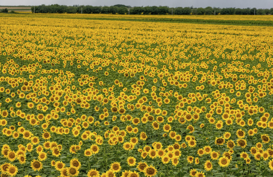
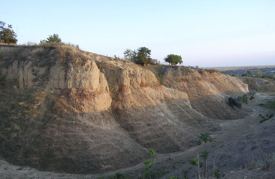
Gagauzia is located in the southern part of the Republic of Moldova, on the territory of the Bugeac steppe, which is part of the southern Moldovan plain. The territory of the steppe is characterized by wide valleys, slopes and numerous ravines. The relief of the region is characterized by steppes and small hills, as well as many rivers flowing in the south direction: Ialpug, Ialpugell, Lunga and Lunguta, drying up in the summer season. Like Moldova, Gagauzia is located in the Carpathian seismic zone.
The area of agricultural land is about 150,000 hectares. Basically, there is a black earth, which has a beneficial effect on the agricultural sector of Gagauzia.
The climate of the region is mild and warm, with temperatures of about 10 degrees Celsius or more, persisting for 179-187 calendar days. Warm sunny days are more than in other regions of Moldova. The average precipitation rate in the region is 350-370 mm of water per year.


The territory of autonomy is very often exposed by winds, geothermal coefficient 0.7-0.8.
The water resources of Gagauzia are represented by underground sources, the volume of which is 8-10 million m3. There are also two large lakes on the territory: near Comrat, which has an area of 1.7 km2 and Congaz, with an area of 4.9 km2.
There is a small amount of minerals in Gagauzia. Basically it is sand, clay, as well as deposits of brown coal with impurity, extraction of which is unprofitable.